
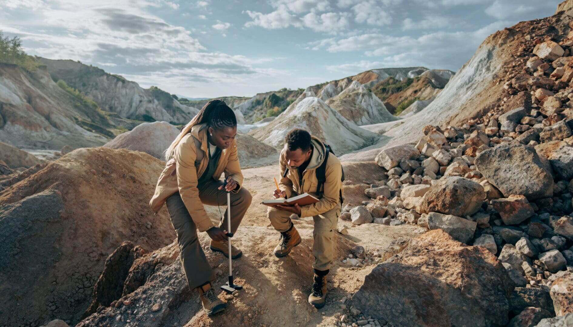
Orientation surveys sit in an interesting place in geochemical exploration. They are widely accepted as “best practice,” yet rarely interrogated in terms of when and why they are needed. Most programs acknowledge their value in principle, optimizing sample media, size fraction, and analytical methods to enhance signal-to-background, but in practice, they are often either skipped entirely or executed without a clear objective. This creates a disconnect between theory and application, where orientation is treated as a box to check rather than a decision-making tool. The result is that many datasets are designed without fully understanding what they are capable of detecting.
At their core, orientation surveys exist to answer a simple question: what combination of material, preparation, and analysis best captures the geochemical expression of the system you are trying to detect? This is not a trivial question, because geochemical data are inherently filtered by the choices made before interpretation even begins. A soil sample collected from transported cover, sieved to a fine fraction, and analyzed with a partial digestion is fundamentally different from a residual soil analyzed with a near-total digestion. Each step modifies the signal, sometimes enhancing it, but possibly distorting or suppressing it. Orientation surveys are intended to bring structure to this complexity by identifying which combination of choices produces a meaningful and interpretable signal.
How orientation surveys are typically done… and why
A conventional orientation survey tests multiple variables across a known or suspected mineralized system, with the goal of identifying the combination that maximizes anomaly contrast relative to background. This typically includes testing different sample media, such as soils, stream sediments, or auger samples, alongside multiple size fractions and analytical techniques. The approach is deliberately systematic, aiming to isolate which variables control the expression of geochemical anomalies. In principle, this allows exploration programs to move forward with confidence that their sampling strategy is technically defensible.
This idea is foundational to exploration geochemistry. As Garrett (2019) emphasizes, the effectiveness of any geochemical method depends on selecting a combination of material, size fraction, and analytical procedure that maximizes the contrast between background and anomaly. Historically, the widespread adoption of the -80 mesh fraction came directly from this type of work. Early studies demonstrated that metals often concentrate in the finer fractions, while also reducing the influence of coarse, erratic particles and eliminating the need for grinding. Over time, this fraction became standard practice, not because it is universally optimal, but because it proved broadly effective across a range of environments.
The challenge is that this historical success has led to a degree of complacency. The -80 mesh fraction is often applied without questioning whether it is appropriate for the specific geological or regolith context. In doing so, exploration programs implicitly assume that the conditions under which the method was developed still apply. This is rarely tested, and as a result, orientation surveys are often replaced by inherited workflows rather than deliberate design. The irony is that the industry adopted a method born from orientation studies, while increasingly avoiding orientation itself.
When orientation works (and why it still matters)
When applied thoughtfully, orientation surveys can significantly improve exploration outcomes by aligning sampling strategies with the behavior of the system being studied. Arundell and Gatehouse (2004) provide a strong example of this, particularly in environments where conventional approaches fail. In the Sofala district, stream sediment sampling was dominated by alluvial gold, which masked any signal from primary mineralization. Rather than increasing sample size or density, the authors reframed the problem by designing a method that deliberately avoided detecting coarse gold.
Their approach focused on fine fractions, small sample masses, and the use of duplicate analyses to test reproducibility. The key insight was statistical: fine gold produces consistent, reproducible results, whereas coarse gold generates erratic values that do not repeat. By incorporating duplicate analyses into the workflow, they were able to distinguish between these two populations. This allowed them to isolate meaningful anomalies from noise generated by hydraulic processes.
Importantly, this was not a conventional orientation survey in the sense of testing every possible variable. Instead, it was a targeted, hypothesis-driven exercise grounded in an understanding of the geological system. The outcome was not just improved data quality, but a direct exploration success with the identification of the Spring Gully deposit. This example highlights that the value of orientation lies not in its complexity, but in its ability to align sampling strategy with geology.
The other side: why not to do orientation surveys
Despite their technical value, orientation surveys are not without limitations, particularly when viewed through the lens of cost and efficiency. As discussed in the Avoiding sub-optimal sampling with Mark Arundell GeOCHemISTea podcast, a fully comprehensive orientation study can quickly become expensive. A statistically valid program might require around 100 samples, and when combined with multiple size fractions and analytical methods, this can result in thousands of analyses. The cost of such a program can easily reach hundreds of thousands of dollars before any regional sampling has even begun.
The core argument against orientation surveys is not that they are incorrect, but that they are often disproportionate to the scale of the problem. In many cases, a well-executed regolith map and careful field observations can provide most of the necessary information at a fraction of the cost. Understanding whether material is residual, transported, or chemically inert can fundamentally determine whether a geochemical signal is even possible. If the sampled material cannot record the signal, then optimizing size fraction or digestion method becomes irrelevant.
This perspective reframes orientation as a question of efficiency rather than correctness. It challenges the assumption that more data or more testing necessarily leads to better outcomes. Instead, it emphasizes the importance of geological context and field-based understanding as the primary controls on sampling effectiveness. In this view, orientation surveys are not rejected outright, but they are no longer the default starting point for every program.
So… should you do an orientation survey?
The decision to conduct an orientation survey ultimately depends on the scale of the project, the complexity of the geological setting, and the objectives of the program. In situations where subtle geochemical signals are expected, or where significant investment decisions will be based on the data, an orientation survey can provide a strong technical foundation. This is particularly true in covered terrains or systems with complex dispersion patterns, where the relationship between surface geochemistry and mineralization is not straightforward.
However, in early-stage exploration or large regional programs, the value of a full orientation study may be less clear. Budget constraints, time limitations, and the need for rapid screening often favor simpler approaches. In these cases, a combination of regolith mapping, targeted sampling, and iterative learning may provide a more practical path forward. The key is to ensure that the sampling strategy remains aligned with the geological question being asked.
What matters most is not whether an orientation survey is conducted, but whether the sampling approach is appropriate for the system being explored. This requires clarity of purpose, an understanding of the processes controlling geochemical dispersion, and a willingness to adapt methods as new information becomes available. Without this, even the most rigorous orientation study can produce results that are technically sound but practically meaningless.
The uncomfortable middle ground
There is a tendency in the industry to frame orientation surveys as either essential or unnecessary, but the reality lies somewhere in between. Garrett (2019) makes it clear that no single method is universally optimal, and that sampling strategies must be tailored to specific conditions. Arundell and Gatehouse (2004) demonstrate how targeted, system-specific approaches can outperform conventional methods. At the same time, the conversation in GeOCHemISTea highlights the operational constraints that limit the widespread application of comprehensive orientation programs.
The challenge, therefore, is not to choose between doing or not doing an orientation study, but to determine what level of an orientation program is required. In some cases, this may involve formal testing of multiple variables, while in others it may be achieved through field observations and geological reasoning. The goal is to develop a sampling strategy that is both technically sound and operationally efficient. This requires balancing scientific rigor with practical constraints, rather than prioritizing one at the expense of the other.
Ultimately, orientation studies are not about testing every possible combination of variables. It is about understanding which factors control the geochemical signal and designing a program that captures that signal effectively. In many cases, this understanding begins not in the laboratory, but in the field. The most effective orientation study may simply be a geologist asking the right question before the first sample is ever collected: what am I trying to detect, and is this material capable of recording it?
References
Arundell, M.C. and Gatehouse, S.G., 2004. Seeing through alluvial gold: Fine fraction stream sediment sampling in the Sofala area, Central New South Wales. Proceedings of PACRIM 2004, Adelaide, pp. 207–210.
Garrett, R.G., 2019. Why minus 80 mesh? EXPLORE Newsletter for the Association of Applied Geochemists, No. 185.
Scher, S., host. Stop sampling sub-optimal media with Mark Arundell (Episode 34). GeOCHemISTea, 2025, January 8. https://open.spotify.com/episode/6HAcn4KfJxjs6bILzAg570?si=_U2DUspnSkujN2XSztsgDQ&nd=1&dlsi=645305b22d7e470a
