
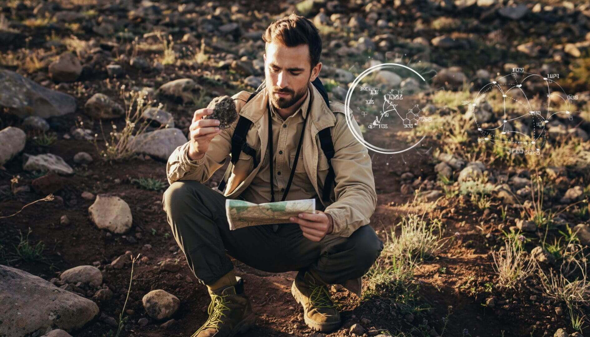
In mineral exploration, geochemical anomalies are often treated as direct evidence of mineralization. Yet many anomalies that appear compelling on maps fail when drilled. The issue is rarely that the geochemistry was “wrong.” More often, the anomaly reflects a process that has been misunderstood, oversimplified, or removed from its geological context.
Exploration programs frequently assume that anomalous values are broadly comparable across a survey area, when in reality they may originate from entirely different materials, transport processes, analytical methods, or lithological backgrounds. A high value in residual soil does not necessarily mean the same thing as the same value in transported colluvium or alluvium. Likewise, an elevated metal concentration caused by lithological enrichment, hydromorphic dispersion, or laboratory artefacts may appear identical on a map to a signal generated by true hydrothermal mineralization.
The result is that drilling programs can become focused on anomalies that are technically real, but geologically misleading. Understanding why this happens is critical for improving exploration success.
- Lithological Background Is Mistaken for Mineralization
One of the most common causes of misleading anomalies is the failure to distinguish mineralization from lithological background. Different rock types naturally contain different elemental abundances, and these variations can create apparent anomalies even where no ore-forming process is present. Mafic volcanic rocks, black shales, carbonates, or feldspar-rich intrusions may all exhibit elevated concentrations of specific elements unrelated to economic mineralization.
Without first defining the geochemical background of the geological units being sampled, exploration programs risk identifying lithological contrasts rather than hydrothermal systems. In many cases, the strongest “anomalies” simply reflect a change in rock type.
This becomes particularly problematic when datasets from multiple lithologies are interpreted together as though they represent a single statistical population. Thresholds derived from mixed populations often exaggerate false positives while obscuring subtle but meaningful mineralized trends.
- Regolith and Transport Processes Are Ignored
Surface geochemistry does not always reflect the chemistry of the underlying bedrock. In many terrains, samples are collected from transported materials including colluvium, alluvium, glacial sediments, or reworked soils. These materials may have originated far from the sampling location.
If transported and residual materials are treated as equivalent, datasets become internally inconsistent before interpretation even begins. Anomalies may reflect sediment transport pathways, hydrological concentration, or mechanical sorting rather than the location of mineralization itself.
In covered terrains, the critical question is often not whether an anomaly exists, but whether the sampled material is genetically connected to the underlying geology. Exploration programs that fail to characterize regolith and landscape evolution commonly misplace drill targets because they mistake transported geochemical signatures for in situ mineralization.
- Dispersion Processes Are Misunderstood
Geochemical dispersion is highly terrain dependent. Elements may migrate through groundwater, surface water, weathering profiles, or mechanical transport in ways that may significantly displace anomalies from their source.
In mountainous terrains, downslope transport may elongate anomalies far from mineralization. In deeply weathered environments, hydromorphic processes may concentrate metals in drainage systems or iron-rich horizons unrelated to ore position. In arid terrains, evaporative processes may locally enrich elements at surface.
Exploration programs often interpret anomalies spatially without considering the processes capable of redistributing elements after mineralization formed. This can create misplaced confidence in anomaly location, geometry, or intensity.
The anomaly itself may be real, but its spatial relationship to the source may not be straightforward.
- Analytical Methods Create Artificial Variability
Legacy datasets commonly combine multiple analytical methods, digestion techniques, laboratories, and detection limits into a single interpretation workflow. This is one of the most underestimated causes of false anomalies.
Different digestions dissolve different mineral phases. Aqua regia, four-acid, partial leach, fusion, and portable XRF datasets are not directly comparable simply because they report the same element names. The analytical method fundamentally changes what portion of the sample is being measured.
When these datasets are merged without understanding analytical compatibility, artificial shifts emerge that can easily be mistaken for geological trends. In projects, the strongest “anomalies” may correspond more closely to laboratory or method changes than to mineralization itself.
Detection limits create additional problems. Replacing below-detection values with zeros, half detection limit values, or arbitrary constants can distort distributions and generate artificial spatial patterns. These effects become amplified in multivariate analysis and machine learning workflows.
- Threshold Selection Is Arbitrary
Threshold selection remains one of the most subjective steps in exploration geochemistry. Many anomalies are defined using arbitrary percentile cutoffs, historical conventions, or simplistic statistical approaches that fail to account for geology, lithology, or sampling media.
A threshold that works in one geological setting may be meaningless in another. Low thresholds may flood a project with anomalies that reflect natural variability, while overly restrictive thresholds may suppress subtle but economically important signals.
Thresholds should not be treated as universal truths. They are interpretive tools that must be tied to geological understanding.
Programs that rely exclusively on statistical outliers without considering geological context often end up prioritizing mathematically unusual samples rather than economically meaningful systems.
- Single-Element Thinking Oversimplifies Mineral Systems
Exploration decisions based on a single element rarely capture the complexity of hydrothermal systems. Many false anomalies arise because one elevated element is interpreted in isolation without evaluating supporting geochemical relationships.
A high gold value without pathfinder support, alteration context, or mineralogical consistency may represent contamination, nugget effects, analytical error, or unrelated enrichment processes. Likewise, isolated copper anomalies may reflect lithological background rather than hydrothermal addition.
Mineral systems behave as geochemical associations, not isolated values. Multi-element relationships, alteration assemblages, and mineralogical context are often far more informative than peak concentrations alone.
Strong anomalies are not always the most meaningful anomalies.
- Spatial Continuity Is Not Evaluated
Exploration programs often focus on anomaly magnitude while overlooking spatial coherence. Yet isolated high values are statistically more likely to represent noise, contamination, or local variability than laterally continuous responses.
Spatial autocorrelation is rarely incorporated into geochemical interpretation despite being fundamental to how mineral systems behave. Nearby samples influenced by the same geological process should exhibit some degree of continuity or relationship.
Clusters of coherent anomalies generally provide stronger evidence of a meaningful geological process than isolated point anomalies. Conversely, scattered single-sample highs without continuity may indicate analytical artefacts, contamination, or random variation.
The spatial behavior of an anomaly is often as important as its intensity.
- Sampling and Field Practices Introduce Error
Field sampling errors remain a major contributor to misleading geochemical data. Poorly cleaned tools, contaminated sample bags, inconsistent sample depths, or incorrect sample media can all generate anomalies unrelated to mineralization.
Site selection is equally important. Samples collected near roads, mine infrastructure, drill pads, or historical workings may contain anthropogenic contamination that appears geologically meaningful.
Even subtle inconsistencies in sampling technique can create variability comparable in magnitude to the geological signal being sought.
The reliability of interpretation is fundamentally limited by the quality and consistency of the original samples.
- Laboratory Contamination and Preparation Effects Are Overlooked
Laboratory workflows can introduce contamination or analytical bias that propagates through entire datasets. Pulverizers, preparation equipment, poorly cleaned circuits, and sample carryover can all create artificial enrichment.
Gold and other trace metals are particularly sensitive to preparation-related contamination because even very small amounts of carryover can generate apparently significant anomalies.
Without rigorous QA/QC programs incorporating blanks, standards, duplicates, and ongoing review of laboratory performance, these issues may remain undetected until after drilling.
Importantly, QA/QC should not be treated as a reporting exercise. Its purpose is to identify where the dataset may not be behaving geologically.
- Geological Context Is Replaced by Pattern Recognition
Modern exploration increasingly relies on large datasets, automated workflows, and machine learning approaches. These tools can be extremely powerful, but they do not inherently distinguish geological meaning from analytical artefacts.
If datasets contain unresolved lithological effects, incompatible analytical methods, transported materials, or distorted distributions, advanced models will often amplify those problems rather than correct them.
A mathematically robust anomaly is not necessarily a geologically meaningful anomaly.
The strongest exploration programs are not those generating the largest number of anomalies, but those that understand why anomalies occur and what processes control them.
Interpreting Processes, Not Just Values
False geochemical anomalies are rarely caused by a single mistake. More commonly, they emerge from the interaction of geology, geography, analytical methods, sampling practices, and statistical assumptions.
The challenge in exploration geochemistry is not simply detecting anomalous values. It is determining whether those values reflect mineralization, background variability, transport processes, or analytical artefacts.
Successful interpretation requires moving beyond anomaly maps toward understanding the processes that generate geochemical patterns in the first place. Only then can exploration teams distinguish signals that are merely anomalous from those that are genuinely predictive of mineralization.
